(KNSI) – A blizzard warning and winter storm warning have been issued for central Minnesota as a strengthening winter storm is expected to bring heavy snow, strong winds and whiteout conditions Sunday into Monday, according to the National Weather Service.
The storm, currently developing over the Northern Plains, will intensify as it moves across the Upper Midwest Sunday and Sunday night. Snow will begin near sunrise in western Minnesota, while areas farther east will initially see a rain and snow mix before quickly changing to all snow by mid to late morning as colder air moves in.
The blizzard warning covers a corridor from Alexandria and Long Prairie south to Hutchinson, which includes Stearns and Wright counties, the far southwestern Twin Cities metro, Mankato and Albert Lea. Those areas are expected to receive four to seven inches of snow combined with potentially strong northwest winds gusting up to 55 miles an hour creating whiteout conditions through Sunday night.
A winter storm warning is in effect for the rest of eastern Minnesota and western Wisconsin, including Benton, Morrison, and Sherburne counties. Those areas could see five to eight inches of snow with wind gusts up to 45 miles an hour. Accumulations will taper to a couple inches across far western Minnesota, where a winter storm watch remains in effect due to uncertainty about blizzard conditions.
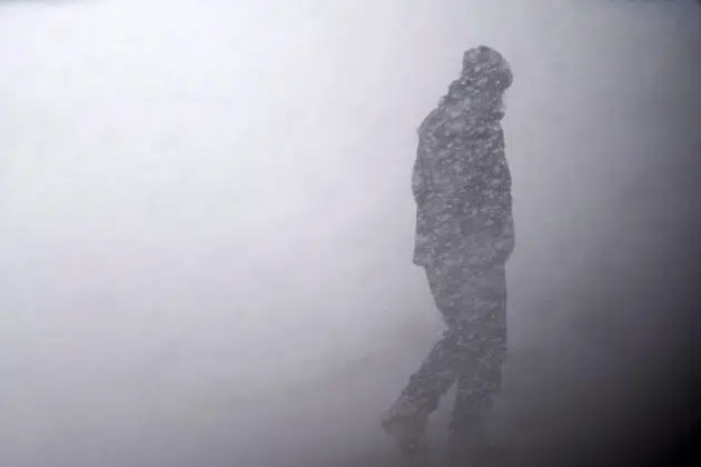
Forecasters say widespread blowing snow will significantly reduce visibility, making travel treacherous. The conditions are expected to impact the Monday morning commute.
The weather service is urging people to restrict travel to emergencies only. They say anyone who must travel should carry a winter survival kit and stay with their vehicle if stranded. Road conditions are available by clicking here.
___
Copyright 2025 Leighton Media. All rights reserved. This material may not be broadcast, published, redistributed, or rewritten, in any way without consent.


FOLLOW US FOR INSTANT UPDATES!


FOLLOW US FOR INSTANT UPDATES!