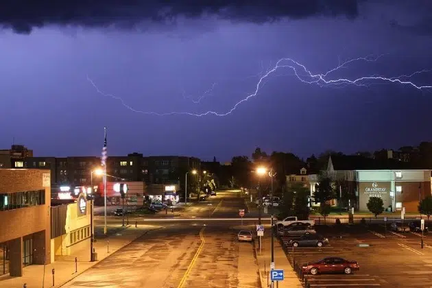
(KNSI) – The National Weather Service says the atmosphere will be volatile Monday evening, creating the opportunity for another round of severe weather in central Minnesota.
Experts posted on social media warning of a “boom or bust” environment that is ripe for heavy rains, large hail, and damaging winds throughout the night into early Tuesday. The initial round of storms, should they materialize, could boast tornadoes.
All of Benton, Sherburne, and Stearns Counties are in the slight risk category. The chance for storms increases as you head northeast across the state toward Duluth. Anywhere north of I-94 is vulnerable, though. Some early predictions include winds of over 75 miles per hour and hail two inches or greater in diameter.
Stay tuned to KNSI for severe weather updates if they are needed.
___
Copyright 2024 Leighton Media. All rights reserved. This material may not be broadcast, published, redistributed, or rewritten, in any way without consent.


