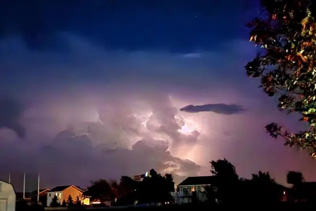
(KNSI) — Central Minnesota is cleaning up this morning after a round of strong to severe storms rolled through Monday night.
The National Weather Service says the storms moved in from the west-northwest, bringing damaging wind gusts, large hail, and the threat of an isolated tornado to parts of the region.
Forecasters say the storms had already produced golf ball-size hail and 60-mile-an-hour wind gusts in northwestern Minnesota before pushing southeast into the St. Cloud area later Monday night.
A suspected tornado touched down just north of Detroit Lakes, sending two people to the hospital. The storm snapped power poles, downed trees and ripped off roofs of homes and businesses. The Becker County Sheriff’s Office posted to its Facebook page asking the public to avoid storm-damaged areas. Authorities are also tightly controlling who enters and leaves affected areas to protect property and make sure it’s safe.
More than 7,000 homes and businesses were without power statewide, according to outage tracking sites. Xcel Energy reports the largest share of those outages, with crews working to restore service. The hardest-hit counties include Becker, Cass, Crow Wing, Kanabec and Wright. The utility is asking customers to report outages through its app or website, and to stay well away from any downed or sagging power lines.
The break in the weather may not last long. The National Weather Service says another round of strong to severe storms is possible Tuesday afternoon into Wednesday, with growing concern about heavy rain and flash flooding, especially in central Minnesota, where a stalled front could bring one to three inches of rain, with isolated higher totals possible.
___
Copyright © 2026 Leighton Media. All rights reserved. This material may not be broadcast, published, redistributed, or rewritten, in any way without consent.




FOLLOW US FOR INSTANT UPDATES!


FOLLOW US FOR INSTANT UPDATES!