(KNSI) – After seeing the warmest winter on record a year ago, it is already apparent that this season will be a different animal.
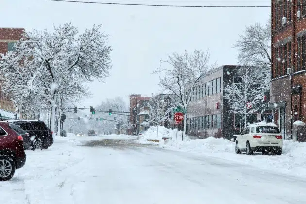
Temperatures were pinned over 10 degrees below normal all weekend, and this likely won’t be the only time that happens over the next three months. Meteorologist Brent Hewett expects a mix of frosty freezes and rebounding temps.
“You got to get used to these cold snaps. That’s going to be something that we didn’t have to deal with last year. Overall, temperatures should still be a degree or two on either side of normal when we’re talking for the next three months combined.”
It’s part of a pattern where cool air dives down from Canada, bringing with it a train of small weather events through at least mid-January. “What we’re going to look at here for probably the first half of winter is that polar jet will be dropping south through the Rockies and into the Midwest and Ohio River Valley. That means we’re probably not going to see many large systems, but we’ll see numerous Alberta Clippers.”
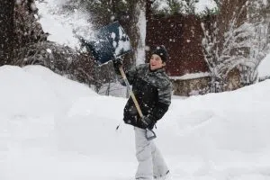
Hewett is leaning towards a slightly snowier season than typical, maybe 50 to 55 inches. He says if we start to pick up a larger system or two that tracks across central Minnesota in February, the total could sneak over 60 inches.
The National Weather Service had been expecting a weak La Niña to form in the second half of winter, but it is pulling back on that. The projections for that are little different from the neutral conditions being observed in the Pacific Ocean at the moment.
NWS creates a forecast based on meteorological winter. It runs from December 1st through February 28th.
___
Copyright 2024 Leighton Media. All rights reserved. This material may not be broadcast, published, redistributed, or rewritten, in any way without consent.


