(KNSI) — Our seemingly never ending winter will get a little longer as a strong storm system will cut through the Upper Midwest later this week.
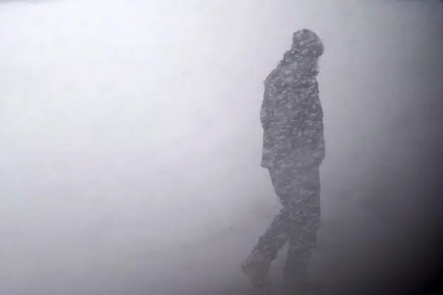
The National Weather Service has issued a winter storm watch that includes Benton and Stearns Counties starting at 6:00 Tuesday morning. Accumulating snow over four inches is most likely across west-central and portions of central Minnesota if the temps stay below freezing. A wintry mix of snow, freezing rain and rain becomes more likely farther east. Strong winds are expected with this system, with gusts of 40 to 50 miles an hour likely on Wednesday, creating blizzard conditions with blowing and drifting snow.
The likelihood of the heaviest snowfall has shifted to the northwest, with northwestern Minnesota and the Dakotas seeing over eight inches of snow. Model runs through the day Monday will help pinpoint where the storm track will go the closer we get to the watch time.
Blowing and drifting snow and high winds whipping over wet roads will cause black ice conditions. Keep up to date with the changing road conditions by clicking here.
___
Copyright 2023 Leighton Enterprises, Inc. All rights reserved. This material may not be broadcast, published, redistributed, or rewritten, in any way without consent.


