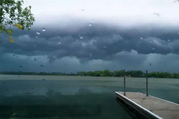
(KNSI) — The Storm Prediction Center has central Minnesota in the marginal risk area for severe weather Thursday.
The chance for the heaviest severe weather, including hail, high winds, and tornadoes, appears to have slid southeast. Areas such as Albert Lea, Rochester, and Red Wing are in the enhanced category. They have a better chance of seeing all modes of severe weather as a warm front and a low pressure lift north. A trailing cold front will move east, and storms are expected to pop up along that line.
A northeastern shift in these dynamics this afternoon will put central Minnesota in the slight risk area.
If you are traveling toward southeastern Minnesota, have a way to get weather warnings. If outside plans are in the cards for this afternoon and evening, have a plan to get inside.
___
Copyright 2022 Leighton Enterprises, Inc. All rights reserved. This material may not be broadcast, published, redistributed, or rewritten, in any way without consent.


