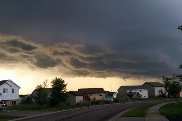
(KNSI) – The National Weather Service has new damage threat tags to help add more context to severe thunderstorm warnings.
The generic severe thunderstorm warning means the storm has wind speeds of 58 mph and/or quarter-sized hail. If the storm is stronger, meteorologists will tag it as considerable and destructive.
Meteorologist Jacob Beitlich with the National Weather Service Forecast Office in Chanhassen explains that the two tags differ slightly. “The first is considerable damage. And that will be issued when we are expecting winds of 70 miles an hour. And or hail the size of golf balls. perhaps more importantly, is the destructive tag. And that is for wind speeds of 80 miles an hour or greater. And hail the size of baseballs.”
Beitlich says when a severe thunderstorm reaches the destructive warning, everyone in the path of the storm will be notified by cell phone.
“It’s automatically keyed off of that destructive tag. Your cell phone alerts go off for higher end flash flood warnings, tornado warnings. And now these new destructive severe thunderstorm warnings.”
He says the National Weather Service decided to make the change after a powerful storm moved across Iowa and Illinois in April of 2020 last year and led to widespread significant damage. Beitlich says that when meteorologists recognize the storm will be particularly nasty, they want to communicate that to the public.
The new damage threat tags went into use this week.
The National Weather Service says the St. Cloud area could see some thunderstorms over the weekend but nothing severe. While it’s been a quiet year for storms in Minnesota, meteorologists say late August and early September can produce some hazardous weather patterns.


