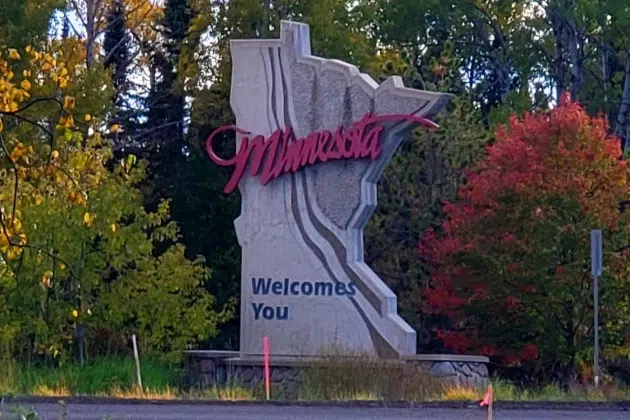
(KNSI) — The Minnesota Department of Natural Resources has released its latest fall color map, and several areas have advanced since last week.
Roughly the northern half of the state, from Pine to Wilkin County, is anywhere from 10% to 50% of peak, with several spots — including the Detroit Lakes area, Leech Lake and Lake Winnibigoshish, up toward Red Lake and Lake of the Woods, and over to Two Harbors and Grand Marais — at 50%.
The southern half of the state, including Lake Mille Lacs and the St. Cloud area, has only just started to turn. The Willmar area and Houston County are at 50%.
Typical peak dates run from late September to early October in roughly the northern third of the state, including the Boundary Waters Canoe Area, International Falls, Lake of the Woods, Itasca State Park and Moorhead. The middle third, including the St. Cloud metro and up toward Duluth and Lutsen, peaks in early to mid-October. The southern third, including areas from Willmar through the Twin Cities, the northern St. Croix River Valley and the Minnesota River Valley, peaks in mid-October. In far southeastern Minnesota, including La Crescent, Rochester and Winona, peak is usually mid- to late October.
___
Copyright © 2026 Leighton Media. All rights reserved. This material may not be broadcast, published, redistributed, or rewritten, in any way without consent.




FOLLOW US FOR INSTANT UPDATES!


FOLLOW US FOR INSTANT UPDATES!