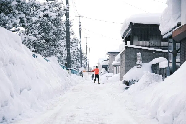
(KNSI) – The National Weather Service is predicting a colder-than-average winter, and there are some indications the pattern may last for several years.
The main driver of the forecast is the prevalence of La Niña conditions in the Pacific Ocean, which encourages the jet stream to bend down across the Upper Midwest, creating an active storm pattern. Lead Forecaster Mike Griesinger says the upper atmosphere also comes into play. “We’re getting into the next couple of years where they’re set up favorably to see the polar vortex be a little weaker and more susceptible to breaking down. When that polar vortex breaks down, you move that arctic air off of the poles.”
A late 2017 polar vortex led to temperatures diving to 45 below zero in northern Minnesota. The wind chill was under 60 below. Griesinger believes a couple of cold snaps are possible this year, although maybe not to that degree.
The National Weather Service is also expecting a stormy season. Griesinger isn’t ready to guarantee the track will bring the worst of it through St. Cloud, but the odds are good that an active pattern will exist. Griesinger also hints that not all of it will be snowfall.
Storms tend to straddle the line between temperature gradients. Griesinger is preparing for swings from warm, southerly air to teeth-chattering cold. “We’ll likely see a pretty volatile winter, a lot of jumping back and forth between warm and cold patterns. So, if we get in where we get one of those systems to come up when the warm wind is blowing, you know, we could see a rain event mixed in there with all the snow.”
Winter rains have been more frequent in recent years, but ski hills should still have pretty good seasonal conditions to work with overall.
___
Copyright 2025 Leighton Media. All rights reserved. This material may not be broadcast, published, redistributed, or rewritten, in any way without consent.


FOLLOW US FOR INSTANT UPDATES!


FOLLOW US FOR INSTANT UPDATES!