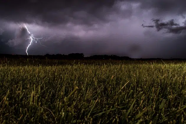
(KNSI) – Our wet and active weather pattern doesn’t show signs of stopping this weekend.
The National Weather Service says there is a conditional threat for thunderstorms late this evening into early Saturday morning. There is some weak capping in place, which could keep a lid on things, but if storms form in the Dakotas and travel east, the ingredients are in place to support the formation of severe weather, but mostly in western Minnesota.
Saturday, the warm weather moves in with the afternoon heat index topping out at about 92. Unlike the oppressive heat we saw last weekend, there will be relief in the form of cooler weather overnight. The area is under a slight, or two out of five, risk for severe storms. Scattered storms could develop overhead in the evening hours and potentially grow into a line overnight. Those storms may dump more heavy rain on areas that have already been pummeled by downpours over the last several days.
On Sunday, there is a marginal, or one in five, risk of severe weather in central Minnesota, with better chances of strong storms to the east and southeast, closer to Rochester and into Wisconsin.
___
Copyright 2025 Leighton Media. All rights reserved. This material may not be broadcast, published, redistributed, or rewritten, in any way without consent.


