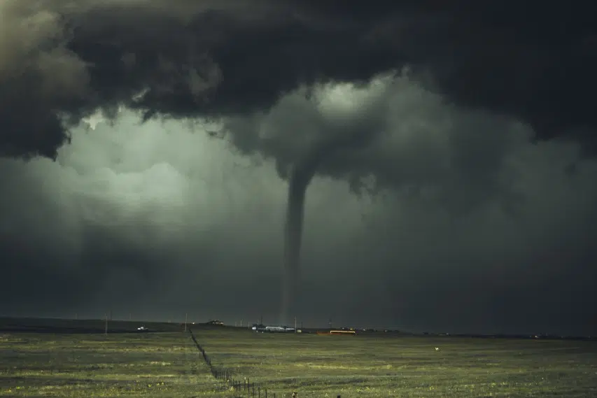
(KNSI) – The National Weather Service has issued a tornado watch for central Minnesota, effective until 9:00 p.m. on Monday, June 16th, as the region braces for potentially severe weather conditions.
A watch means all the ingredients are there for a tornado, but one isn’t active. The area includes Stearns, Benton, Sherburne and Wright Counties.
Residents can expect two distinct rounds of dangerous weather today. The first wave of showers and thunderstorms already moved through the area this morning, with meteorologists warning that a second, potentially more severe round could develop this afternoon.
The storms pose multiple threats to the region, including large hail, damaging winds, the possibility of one or two tornadoes, and localized areas of heavy rainfall that could lead to flash flooding.
The severe weather threat won’t end with Monday’s storms. Forecasters are predicting more chances on Tuesday and Wednesday.
The extended forecast shows the unsettled weather pattern persisting through Sunday, with residents advised to stay weather-aware for the remainder of the week.
___
Copyright 2025 Leighton Media. All rights reserved. This material may not be broadcast, published, redistributed, or rewritten, in any way without consent.


