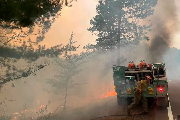
(KNSI) – All of central Minnesota is included in a fire weather watch that takes effect on Sunday.
The National Weather Service Twin Cities office expects record high temperatures in the upper 80s or low 90s. The warmth will filter in courtesy of dry winds from the southwest. Humidity values will likely stay below 25%. The heat, high winds, and dry air are the perfect set of conditions for fire danger.
The service is already warning that critical fire conditions could remain in place for Monday and Tuesday. Before local fires become a concern, the effects of blazes burning in Saskatchewan and Manitoba will be felt. By 7:00 p.m. today, a narrow band of smoke will quickly push through the area.
The NWS does not anticipate needing an Air Quality Alert, but the haze will be enough to affect vulnerable populations or those engaging in exercise or strenuous work outside. It should last for only a couple of hours.
___
Copyright 2025 Leighton Media. All rights reserved. This material may not be broadcast, published, redistributed, or rewritten, in any way without consent.


FOLLOW US FOR INSTANT UPDATES!


FOLLOW US FOR INSTANT UPDATES!