(KNSI) — Remember the phrase, ‘if you don’t like the weather, wait five minutes; it will change’?
Get a load of this forecast.
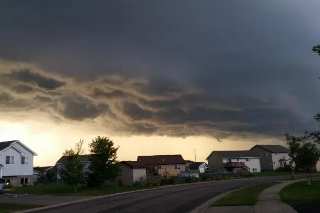
The National Weather Service says central Minnesota will get clipped by a powerful spring storm system this weekend.
An abnormally strong low pressure system will develop across the central states and then track north, bringing rain and strong to severe storms, high winds and snow.
The area is expected to see a record, or near record high during the day on Friday. The record for March 14th is 71 and we could meet or exceed that. Scattered strong to severe storms are possible Friday night. As of Thursday morning, the KNSI listening area is under a marginal risk for severe storms, or one out of five. Southern Minnesota, from Worthington up through Red Wing, over to Tomah, Wisconsin and down past the Iowa border, has a better shot, with a slight risk, or two out of five.
Rain will transition to snow as it spreads from west to east on Saturday during the day and into the evening hours. The high temps we will have on Friday will be cut in half by Saturday afternoon.
Western Minnesota could see a few inches of accumulating snow, and very strong winds Saturday, potentially leading to near blizzard conditions. Central Minnesota, as of right now, will see less than a half an inch of snow. Eastern Minnesota and western Wisconsin should see little to no snow accumulations. Winds will strengthen and almost make a 180 as it shifts from a warm, southerly flow to a harsh northwesterly flow, gusting to around 35 miles an hour.
The system will be gone on Sunday, which is forecast to be more seasonable and sunny in the mid 30s. Monday, we’re back into the 50s.
___
Copyright 2025 Leighton Media. All rights reserved. This material may not be broadcast, published, redistributed, or rewritten, in any way without consent.


