Initially posted at 2:38 p.m. on 8/29/24
Updated at 3:35 p.m. on 8/29/24
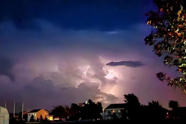
(KNSI) – Meteorologist Ray Miller with Weatherology says the severe thunderstorms rumbling through central Minnesota are mostly a wind event, even as they extend their reach to more counties.
He notes, “These storms are just knocking on the door of the St. Cloud metro area. We’ll see some gusty winds beginning across much of the city and in the surrounding area of eastern Stearns, western Benton and western Sherburne County, which all continue under severe thunderstorm warnings until 3:45.
“Wright County and Meeker County are included in that as well, the good news that we have here, and there’s not much, but there is some good news. Not a lot of hail with this, some indication of quarter-sized hail, particularly down around the Kimball area. But overall, this is a wind threat.
“The problem is these storms are showing indications of 60 to 65 mile-an-hour winds at least, and perhaps even some gusts as high as 70, particularly in southeastern parts of Stearns County. So damage to tree limbs and power lines looks likely. I think we’ll have a few power outages as this moves across the area through the next hour.
“If you’re in and around St Cloud, really, anywhere along the river and the Highway 10 corridor, be prepared for these strong winds in the next several minutes. Move inside a strong building and stay away from windows. And again, the severe thunderstorm warnings are for eastern Stearns County, all of Morrison County, western Benton County, western Sherburne County, eastern Meeker and northern Wright County.”
___
Copyright 2024 Leighton Media. All rights reserved. This material may not be broadcast, published, redistributed, or rewritten, in any way without consent.


