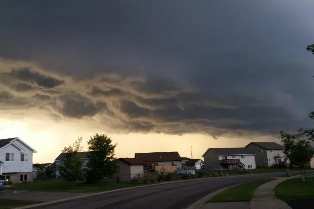
(KNSI) – Much of Minnesota could see severe thunderstorms later today.
Showers and thunderstorms will move across the St. Cloud region Wednesday morning, but behind those, clouds will clear, allowing the atmosphere to recharge. The Storm Prediction Center has increased the risk level of severe weather to enhanced (level three out of five) along and north of Interstate 94 from around the middle of Morrison County to Alexandria, up to the border, including International Falls, into the Arrowhead, including Duluth, and down toward Hinckley. Storms there could bring very large hail up to three inches in diameter, damaging winds gusting up to 65 miles per hour, and even a couple of tornadoes.
We are under the slight risk category in central Minnesota or level two out of five for severe storms later today. Models aren’t in good agreement, even as of Wednesday morning, about where and how much the environment can recover after the first round of storms. If they blossom, they will start in western Minnesota, move through central Minnesota, and dive southeast.
This second round of storms, wherever they hit, has excellent potential for hail over two inches in diameter and strong winds over 60 miles an hour. There is a chance for some brief tornados, but the tornado threat is currently relatively low for our area.
The most intense storms are expected to hit between late afternoon and early evening. Monitor local weather reports for the latest updates and warnings, and have a way to get weather warnings, such as staying close to the radio, television, an app on a mobile device, or a NOAA weather radio.
___
Copyright 2024 Leighton Media. All rights reserved. This material may not be broadcast, published, redistributed, or rewritten in any way without consent.


