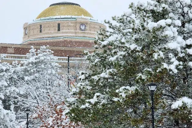
(KNSI) – Ding ding! Snowstorm versus Minnesota round two is on its way.
Snow will continue to fall through about mid-morning Friday. Totals so far have ranged from a couple inches here and there to more than six inches in some spots. According to the Minnesota Department of Transportation, snowfall rates are slowing, but roads are slick and sloppy.
After the snow moves out, the sun is expected to make an appearance this afternoon, potentially melting some of the flakes we got and drying off the pavement before the next system moves in.
The National Weather Service says that could happen Saturday night or early Sunday morning. It’s not exact yet because the system needs to get better organized, and the track has wobbled. The temperature shifts have also changed. That will make the difference between a dumping of snow or a mix of snow and rain, which would cause compaction and lessen the anticipated amounts. Regardless, a winter storm watch is in effect starting at 7:00 Sunday morning and remaining in effect until Tuesday morning. That could be upgraded to a winter storm warning because, as of Friday morning, “snow totals once this event is all said and done are likely to exceed 12 inches, especially across western Minnesota.”
Patchy blowing snow will also make for messy travel as wind gusts are expected to exceed 30 miles an hour at times.
Don’t shoot the messenger, but there’s another system being watched for next weekend.
___
Copyright 2024 Leighton Media. All rights reserved. This material may not be broadcast, published, redistributed, or rewritten, in any way without consent.


