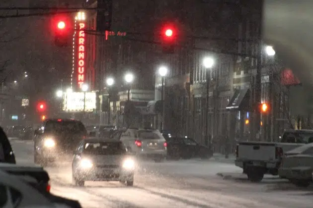
(KNSI) — It was so nice of winter to wait until spring to show up.
The vernal equinox, or official seasonal change from winter to spring, happened at 10:06 p.m. Tuesday night. Now, we’re talking about measurable, plowable snow possible over the next several days.
The National Weather Service says near critical fire weather conditions are expected for Wednesday across central Minnesota this afternoon and into the early evening. Northwest winds between ten and 15 miles an hour with occasional gusts of 20 to 25 miles an hour will taper off through the day, but relative humidity hovering at around 20% will stick around. Any fires that do start can spread quickly.
“Plowable snow of a few inches is likely” late Thursday afternoon through Friday morning. The highest amounts will fall along and north of Interstate 94, with amounts tapering off to the south. Forecasters say as of Wednesday morning, 4″ to 6″ of snow is expected for St. Cloud, with areas of 6″ to 8″ possible northwest of here toward the Alexandria area.
Two scenarios for banded snowfall could play out here on Thursday and Friday. One is a double band with lesser amounts spread across a larger area, which forecasts currently favor. The other is a single heavier band of 5″ to 7″ of snow, which could fall along Interstate 94 and north.
Confidence is increasing for a second, more significant winter storm to possibly drop heavy snow Saturday night into the early portion of next week, but exact amounts and locations aren’t certain. What forecasters do know, again, right now, is multiple rounds of heavy snow are looking more likely late this weekend into early next week. “Significant travel impacts are possible,” according to the latest models. As of Wednesday morning, there is a 50% to 60% chance that a broad swath of over 6″, possibly mixed with sleet and rain, could fall throughout central Minnesota Sunday into Tuesday.
Forecasters say don’t dwell on the specific totals as snow amounts and locations vary quite a bit when the storm is this far out.
___
Copyright 2024 Leighton Media. All rights reserved. This material may not be broadcast, published, redistributed, or rewritten, in any way without consent.


