(KNSI) — Punxsutawney Phil predicted an early spring this year, just as Minnesotans are scratching their heads over the winter that wasn’t.
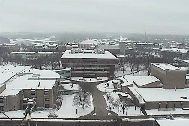
While the 2023-24 season isn’t technically over yet, it has already cemented its place as one of the mildest ever, along with little of the white stuff. Twelve months ago, it was a very different story as we were enduring one of the snowiest of all-time.
Meteorologist Eric Ahasic says it is uncommon to see such a difference in this short of a time span. “Looking in the past, there’s a few years like in the mid-60s and in the 80s where you had some snow years followed by some lesser snow years, but usually there’s one year kind of in between.”
For as nice as the temperatures have been, you may be asking, “Where’s the sun?” Ahasic explains the warm temps are what’s keeping our heads (and the rest of us) in the clouds. “When it’s this warm, there’s more moisture in the atmosphere. And that moisture oftentimes will lead to fog during the morning and several days in a row of widespread cloud cover, like we’ve seen at times.”
He says Minnesota’s January looked more like the drab and dreary doldrums you find in the eastern part of the Great Lakes region; Michigan, Ohio, and Pennsylvania. We did pick up record rainfall in December, but the gray skies haven’t translated into winter storms. Ahasic says it’s common to see them skirt to our south in El Niño years like this one.
No snow, no problem. At least as it pertains to our farmers, says Ahasic. “Average for December and January is like half an inch to three quarters of an inch of precip, melt down the snow or have it fall as rain. While in May, June, July, August, it’s three-and-a-half to four inches.”
Severe drought still exists in the north-central part of the state, but around St. Cloud the worst it gets is abnormally dry conditions or moderate drought. We’ll need the rain back in the spring, though, if there continues to be little snowpack. The soil is stressed from drought the past three summers. Ahasic says if we start the growing season dry and stay that way, it could get ugly quick.
While crops won’t be affected, parks and yards could be. Wednesday saw 55 degrees, a record high. It will continue to be in the 40’s for highs until the cooloff hits. Ahasic warns that might be enough to throw Mother Nature out of sync.
“Who knows? If the soil temperature get warm enough, you could start to have some of those plants start trying to wake up here in February, which is not going to be great because we are going to have another cold pattern here as we get to the middle of the month. It doesn’t look nearly as cold as what we saw earlier in January, but you know, back to more seasonable temperatures, even some below normal temperatures for mid-February.”
Another thing to be concerned about is winter kill for your lawn. Snow acts as insulation, but if grass is uncovered, the cold wind dries out the blades, and frozen roots are unable to replace the moisture. The process is known as desiccation.
The Climate Prediction Center’s precipitation outlook through February 15th has Minnesota in the 33% to 40% chance of above normal precipitation, and equal chances of above or below normal precipitation, so it could all come out in the wash.
___
Copyright 2024 Leighton Media. All rights reserved. This material may not be broadcast, published, redistributed, or rewritten, in any way without consent.


FOLLOW US FOR INSTANT UPDATES!


FOLLOW US FOR INSTANT UPDATES!