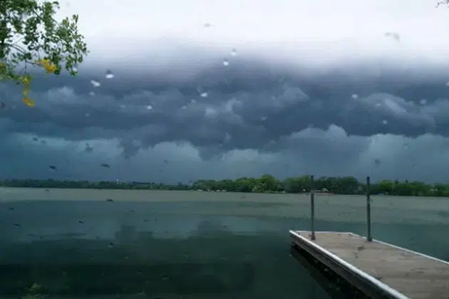
(KNSI) — Central Minnesota has a shot at more severe weather Wednesday afternoon.
Forecasters say storms are expected to develop along a cold front and pop in northeastern Minnesota around 4:00 then build south Wednesday evening. The St. Cloud area is in the slight or two out of five risk category.
The biggest threats are wind and hail.
Last week, the area also saw severe thunderstorms bubble up Thursday and Friday.
The National Weather Service says to have a way to get warnings later today.
___
Copyright 2023 Leighton Enterprises, Inc. All rights reserved. This material may not be broadcast, published, redistributed, or rewritten, in any way without consent.


US revokes green cards and visas of several Iranian nationals connected to Tehran government
The Trump administration has revoked the green cards or U.S. visas of at least four Iranian nationals connected to the current or former Iranian government, including two who have been detained by immigration authorities and are to be deported
1h ago

Crews making progress containing Southern California wildfire
Winds had “dissipated a bit” since Friday, helping the efforts of fire crews.
2h ago

After MN ICE surge, enforcement goes quieter
ICE seems to be changing from aggressive immigration enforcement on city streets to an apparent return to operations that rely heavily on local law enforcement. But even in Florida, where sheriffs are required to cooperate with ICE, some conservative...
3h ago
FOLLOW US FOR INSTANT UPDATES!


FOLLOW US FOR INSTANT UPDATES!