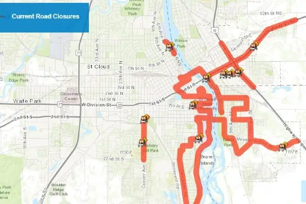
(KNSI) – St. Cloud has a live interactive map to help people navigate the city’s road closures.
The online information includes long-term road projects, short-term closures for repairs or emergencies, and event-related road closures. The map is updated with every closure that occurs.
Just click on the highlighted road segment, and a pop-up window will appear with the closure location, description and the start and end dates of the shutdown. It is found on the city’s website in the updates section. There is also information on how to sign up for texts or emails about construction projects and road conditions in St. Cloud.
To view the map, click here.
___
Copyright 2023 Leighton Enterprises, Inc. All rights reserved. This material may not be broadcast, published, redistributed, or rewritten, in any way without consent.


