(KNSI) — The National Weather Service has issued a winter weather advisory for a portion of central Minnesota, including Benton, Meeker, Morrison and Stearns Counties.
Rain will overspread the area through the day Tuesday and may be heavy at times. Some claps of thunder are not out of the question. Minor flooding is also possible due to the rain and snow melt.
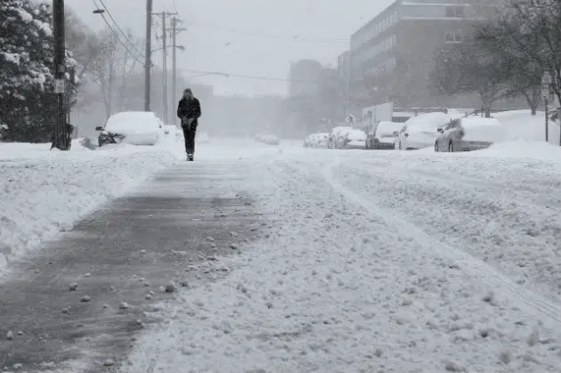
Rain will turn to snow from west to east late this evening as much colder air arrives. A period of light to moderate snow will start late Tuesday evening and overnight into Wednesday as northwest winds increase steadily and could gust as high as 55 miles an hour, especially in southern and western Minnesota. A flash freeze is likely, and whiteout conditions are possible at times. Wind chills could also get down to 15 to 20 below zero. Total snow accumulations will be between one and three inches.
The advisory goes into effect at midnight and remains in effect until 9:00 Wednesday morning.
Forecasters say to plan on slippery road conditions and use caution while traveling. See the latest road conditions by clicking here.
Winds will diminish Wednesday, but cold air remains. Temps will fall into the mid-teens Wednesday. Overnight lows will be in the single digits above zero. Thursday will again see highs only in the teens before rebounding late in the week into the 20s and the 30s return in time for the weekend.
___
Copyright 2023 Leighton Enterprises, Inc. All rights reserved. This material may not be broadcast, published, redistributed, or rewritten, in any way without consent.


FOLLOW US FOR INSTANT UPDATES!


FOLLOW US FOR INSTANT UPDATES!