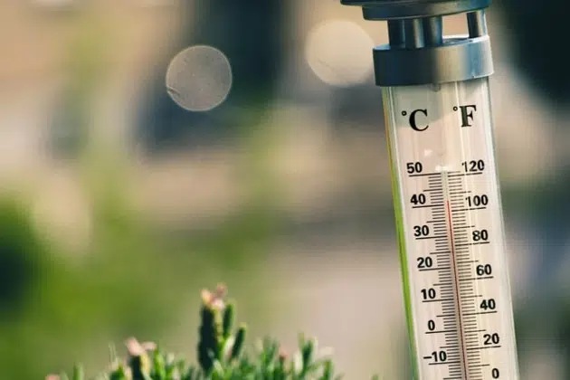
(KNSI) – Meteorologists predict a cool start to summer with a potential late warmup leading to average temperatures. National Weather Service Senior Forecaster Joe Calderone says the next two weeks will feel chilly.
“It’s solidly below normal. And then you go to week three to four and it tries to come out of that and get to near normal. And then, looking at the one month and even three months, it’s taking a while to get to where we can finally come out of this cool pattern.”
He says average highs in early June are in the mid-70s. Calderone says a La Nina pattern in the Pacific Ocean is keeping warm air away.
“You don’t have the deep and prolonged surges of warm air from the southern United States. We don’t have that where it [warm air] can get up to the upper Midwest. So, instead, we see cooler bursts of air that do come from the northern latitudes and from Western Canada.
He says the La Nina pattern has brought in significant moisture. Meteorologists say it’s virtually eliminated the chance of another drought. In 2021, Minnesota suffered its worst drought in 30 years.
June 1st is the start of meteorological summer.
___
Copyright 2022 Leighton Enterprises, Inc. All rights reserved. This material may not be broadcast, published, redistributed, or rewritten, in any way without consent.


