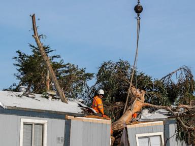
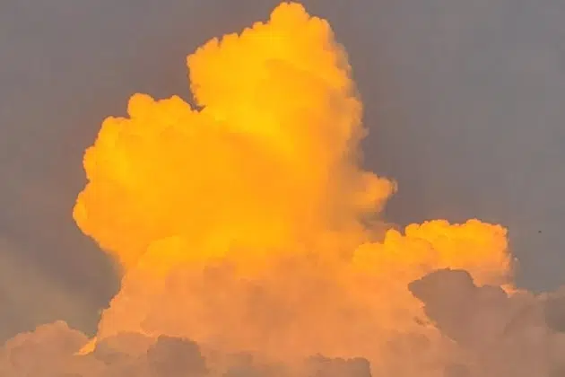
(KNSI) — The Storm Prediction Center has Minnesota in line for another round of severe weather later this week.
Forecasters say a well-organized system is expected to make its way through the state on Wednesday night and Thursday. Very large hail, damaging winds, and the potential for a couple of tornadoes are all possible. As of Monday, Minnesota is in a slight risk (2/5) category for Wednesday, and in the enhanced (3/5) risk area for storms.
Highs on Wednesday are expected to be in the low 80s across central Minnesota and into the 90s by Thursday. A low-pressure system will move through the Dakotas with a cold front trailing along, which will fire up these storms. Highs are expected to be in the mid-70s on Friday.
Of course, this is Minnesota, and as always, this can all change the closer we get to the event, but have a way to get severe weather warnings and make plans for what to do and where to go just in case.
___
Copyright 2022 Leighton Enterprises, Inc. All rights reserved. This material may not be broadcast, published, redistributed, or rewritten, in any way without consent.


