(KNSI) — The National Weather Service says the threat of severe weather has shifted north, putting St. Cloud in the marginal risk area for Tuesday night.
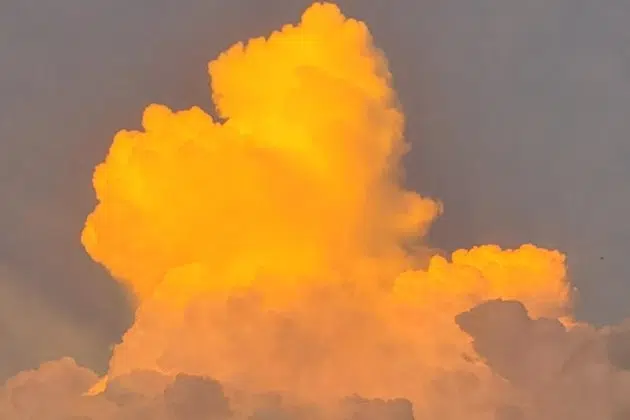
A large, messy storm system is chugging northeast bringing all types of weather with it. Forecasters say strong to severe thunderstorms are expected to fire up around 6:00 Tuesday evening, with the greatest risk in south-central to east-central Minnesota and western Wisconsin as they are in the slight to enhanced risk area. A “strong tornado or two” is possible, mostly in south-central Minnesota. Though chances are low, hail and high winds are not out of the question throughout the thunderstorm threat zone.
Winds of 40 to 55 miles an hour are expected across central and southern Minnesota Wednesday into Thursday night. Snow showers Wednesday and brief, heavy snowfall could also cause nasty driving conditions and low visibility. There is also the possibility that high winds could stick around through Friday.
Have a way to get weather warnings through the remainder of the week.
___
Copyright 2022 Leighton Enterprises, Inc. All rights reserved. This material may not be broadcast, published, redistributed, or rewritten, in any way without consent.


