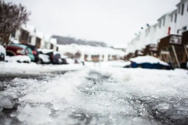
(KNSI) — If you were dreaming of green grass and digging into the garden, for now, Old Man Winter says dream on.
The National Weather Service says the area will see a one-two punch in the form of a wintry mix of snow, sleet, and freezing rain starting Tuesday night and lasting through Thursday morning. The areas most affected by the first wave Tuesday night will be primarily across central Minnesota and western Wisconsin. Forecasters say surface temps should be right near freezing, so rain mixed with sleet at times is expected, but areas north of Interstate 94 could see a coating of ice if the temps go below freezing.
Thunderstorms are possible tonight across southern Minnesota and portions of west-central Wisconsin. As of Tuesday morning, central Minnesota is in the general risk category for thunderstorms.
The second part of the system moving in Wednesday will bring a band of snow, moderate to heavy at times, to the region. There is still uncertainty about where it will track. For now, forecasters say the most likely location for accumulating snow is along and east of I-94.
___
Copyright 2022 Leighton Enterprises, Inc. All rights reserved. This material may not be broadcast, published, redistributed, or rewritten, in any way without consent.


