Originally published December 11th, 2022 12:23 p.m.
Updated December 13th, 2022, 11:28 a.m.
___
(KNSI) – The National Weather Service has revised its forecasts for the winter storm as it closes in on central Minnesota.
The main change from the previous forecast is for less freezing rain and more sleet Tuesday. Areas in west central and north central Minnesota will see more snow. There will still be a short lull on Wednesday, then a couple days of light snow to round out the week, followed by arctic temps behind this system.
For now, forecasters say around the St. Cloud area; a light wintery mix should start around noon before transitioning into a heavier wintery mix in the afternoon and changing to all snow around the supper hour. Drivers can plan on that wintery mix sticking around Wednesday morning before warming temps change it over to all rain in the afternoon.
A winter storm warning now goes into effect at 9:00 a.m. Tuesday for Douglas, Kandiyohi, Pope, Stearns and Todd Counties. That remains in effect until at least 3:00 a.m. Wednesday. That area could see three to five inches of total accumulation, a light glazing of ice, and winds gusting to around 45 miles an hour. The previous forecast had called for a heavy mixed band of precipitation with rain, sleet and snow with up to six inches of snow.
A winter storm warning is in effect starting at noon Tuesday for Benton, Kanabec, Mille Lacs and Morrison Counties. That is in effect until at least noon Wednesday. That area was to see higher wind gusts and about four to seven inches of snow. The new forecast calls for total snow accumulations in those areas will be between four and six inches, with a light glazing of ice and winds gusting around 40 miles an hour.
A winter weather advisory is in effect for Sherburne and Wright Counties from noon Tuesday until at least 3:00 a.m. Wednesday. That area will see total snow and sleet accumulations of one to three inches with gusty winds to 45 miles an hour. The previous forecast had called for up to three inches of snow and higher wind gusts. The advisory time was also shortened from noon to 3:00 a.m.
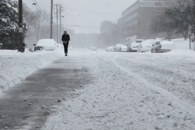
Even though the forecast has been revised, the Minnesota Department of Transportation says to beware of slippery roads and patchy blowing snow. Stay on top of the changing road conditions by going to the MnDOT’s road condition information website by clicking here. A 511 app is also available for mobile devices in the app store or on Google Play.
Ice accumulation on trees and powerlines could cause them to snap. Xcel Energy and its energy cooperative partners say they are ready if the power goes out.
Numerous schools are doing early dismissal Tuesday. See the list by clicking here.
___
Copyright 2022 Leighton Enterprises, Inc. All rights reserved. This material may not be broadcast, published, redistributed, or rewritten, in any way without consent.


FOLLOW US FOR INSTANT UPDATES!


FOLLOW US FOR INSTANT UPDATES!